MaxiVision
Take production planning to a whole new level
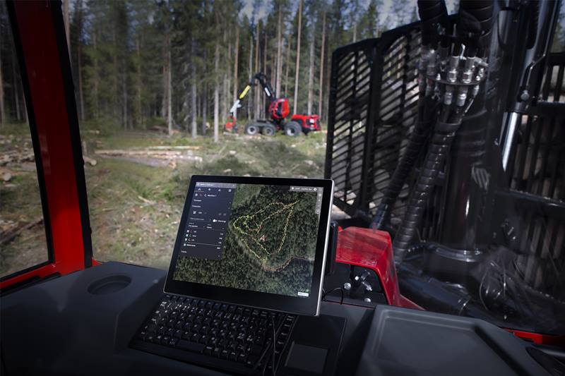
MaxiVision helps you to visualise the state and conditions of the forest, both today and tomorrow. Different map views provide you with data about ground conditions and the rest of the team’s production enabling you to plan your work as efficiently as possible and with minimal forest impact. Since everything is cloudbased, updates occur in real time and any changes are immediately seen onscreen in the cab.
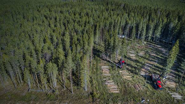
The map combined with different data layers provides valuable information about current ground conditions in the area where you are working. The knowledge gained from MaxiVision allows for felling and forwarding with less impact on the forest floor, which not only increases the quality of your work, but also helps to meet demands for minimal ground damage. This means long-term sustainability.

